SYDNEY DOLLIMORE'S MAPS
of
LEVERSTOCK GREEN IN THE 1930s
This page was last updated: September 5, 2015
Click to link to principle LG Chronicle web pages.
This page was last updated: September 5, 2015
THE LEVERSTOCK GREEN CHRONICLE
an in-depth history of one village in Hertfordshire UK.

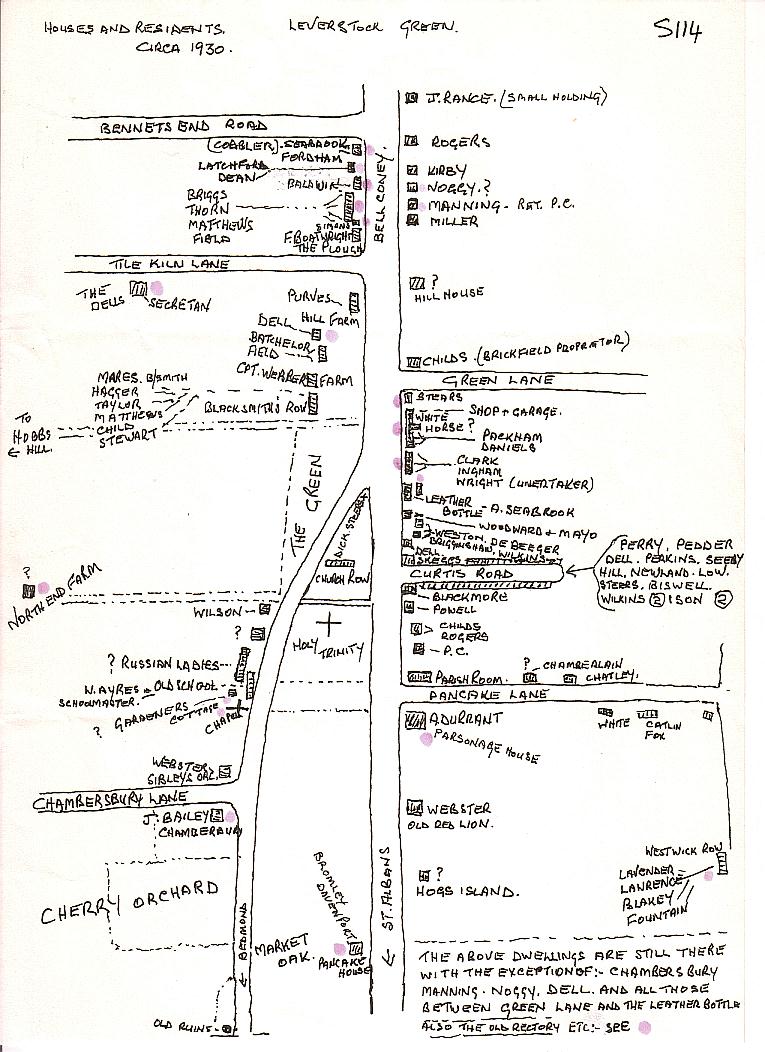
Syd told me when I first met him in about 1997 that whilst at Leverstock Green School (Pancake Lane) in the 1930s, he and his class mates were set to produce sketch maps of the village showing where everyone lived. Syd had kept his and made copies of them for me which he signed in 1997. There were I think one or two minor discrepancies on the maps, but nevertheless they provide a wonderful piece of social history of the area for the 1930s. Barbara Chapman
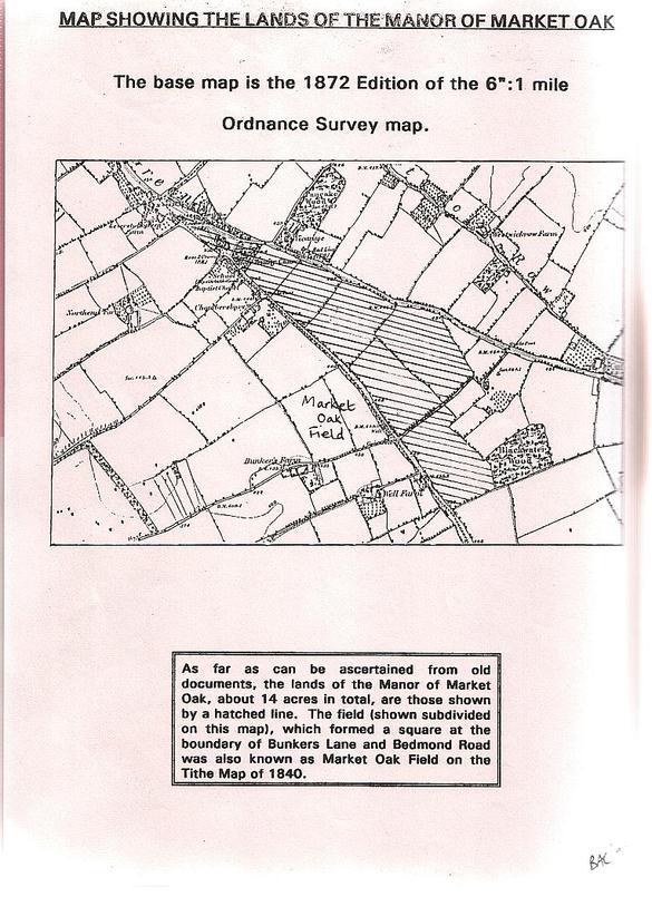
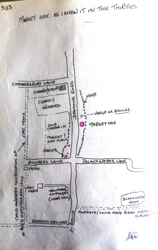
MARKET OAK MAPS: The map on the left is the one I drew up to show the original Sub-Manor of Market Oak, aka Leverstock Green, and the field of that name in the 1840 tithe map. Syd's map shows the same field with the remnants of earlier cottages, a WW2 bomb crater and the large Oak Tree which was known as the Market Oak.
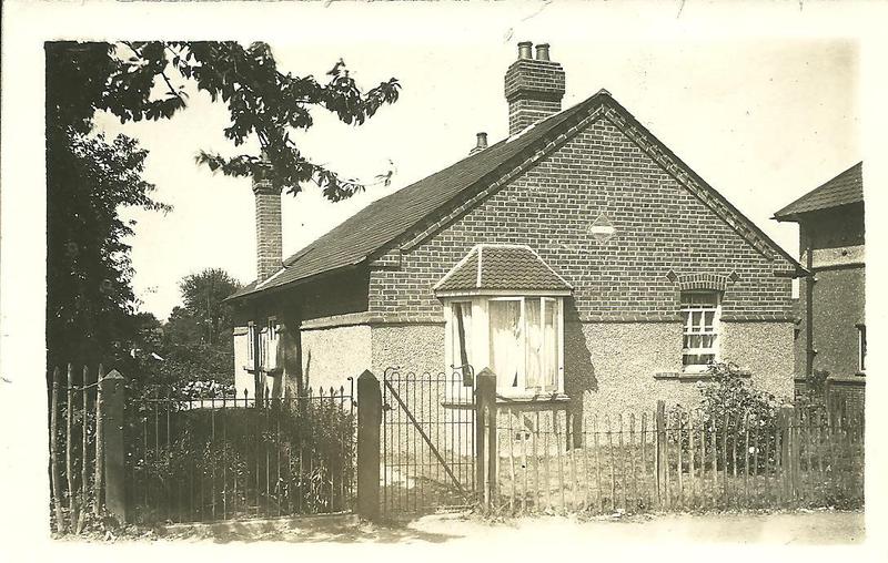
No 1 Pancake Lane
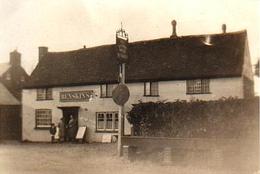
The Leather Bottle
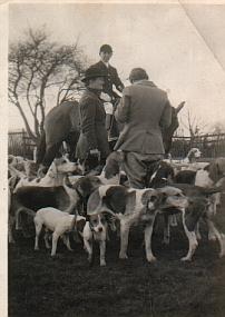
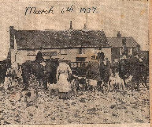
Hertfordshire Hunt on the Green
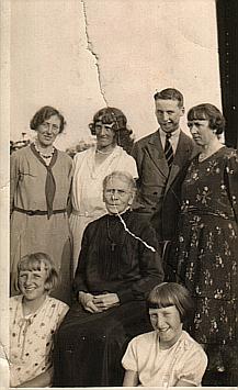
Members of the Dell family.
Olive and Cecil Parkins outside the Parish Hall, Pancake Lane.
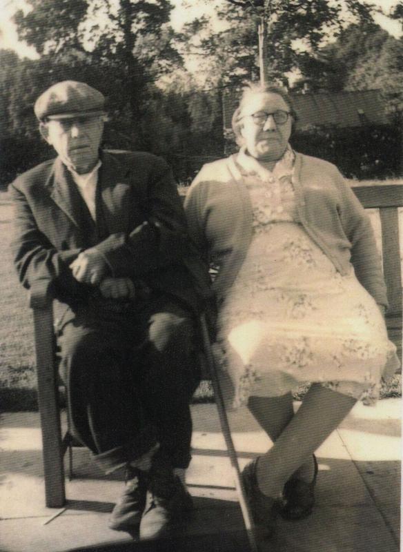
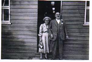
Charles William (known as Billy) and Nellie Matthews of Blacksmith's Row
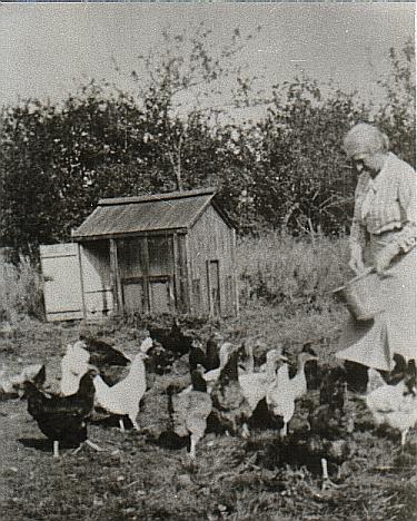
Mrs Webber Snr. Feeding her hens, Leverstock Green Farm
In Curtis Road
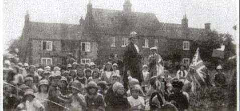
ABOVE: Celebrating Empire Day, 1935
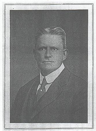
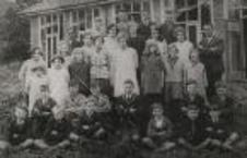
RIGHT: Outside the new school building in Pancake Lane, 1930s. Walter Ayre HM far right.
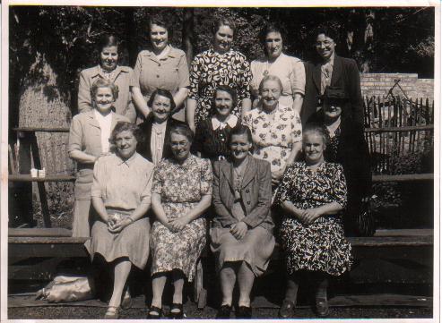
LG Baptist Chapel Ladies' Summer Outing
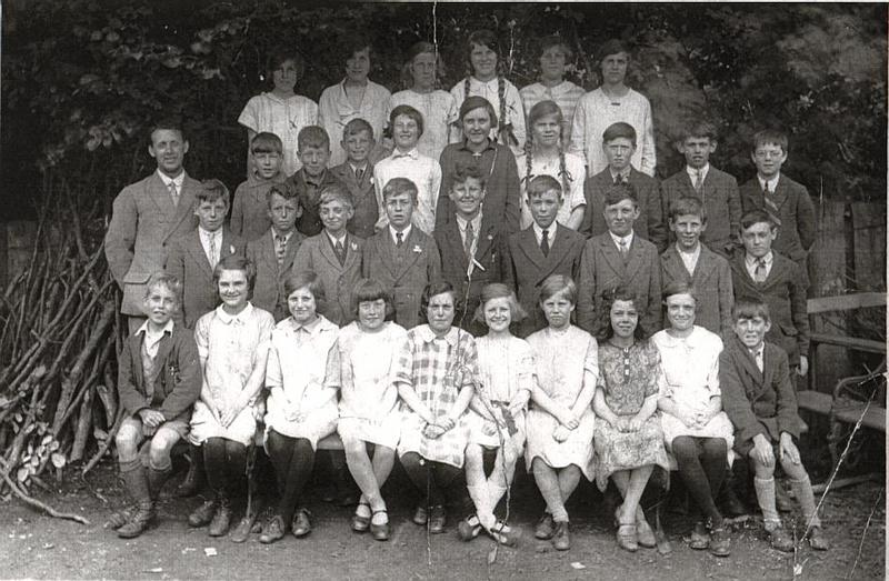
Walter Ayre and pupils in the wooded area of Pancake Lane school.
Percy Webster of Sibleys Orchard.